Tornado confirmed in Huron County
An EF1 tornado with peak winds of 100 mph touched down on Wednesday evening in Huron and Lorain counties, the National Weather Service reports.
The tornado traveled 9.36 miles with a maximum width of 200 yards, beginning southwest of Wakeman in Huron County at 8:26 p.m. Wednesday and dissipating northwest of Kipton in Lorain County at 8:37 p.m., the weather service said in a statement.
No injuries were reported.
Details were provided in a statement Thursday evening from the weather service in Cleveland, which sent a storm team.
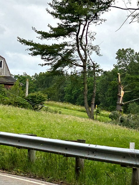
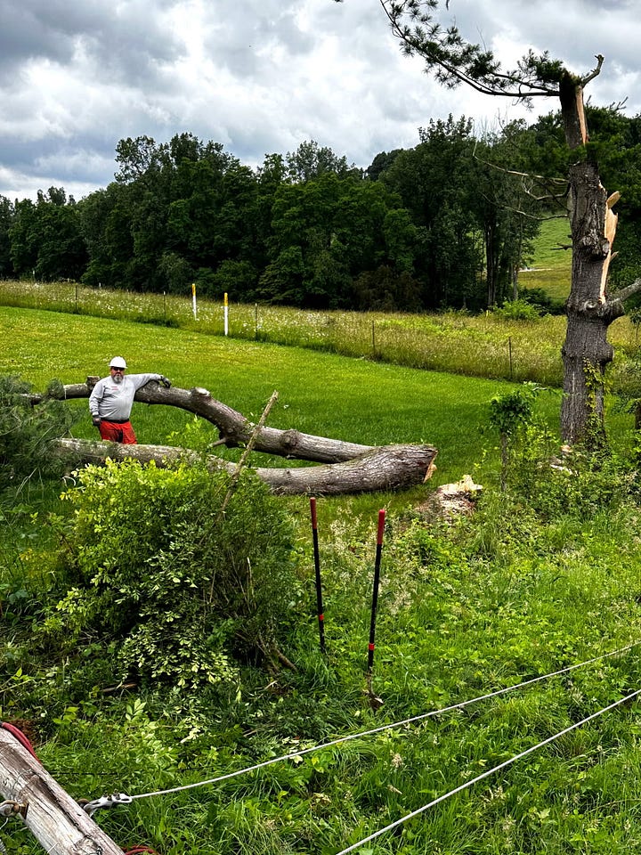
The tornado began about 15 miles north of New London near the intersection of U.S. 20 and Hartland Center Road south of Collins. It primarily caused tree damage, snapping numerous hardwood and softwood trees, with some trees and limbs falling onto residences and causing minor damage.
The tornado's path included areas near Collins, crossing several roads north of U.S. Route 20 before approaching Wakeman.
While the main circulation bypassed Wakeman village, strong rear flank downdraft straight-line winds moved through Wakeman with "some minor and less concentrated tree damage across the village," the weather service said.
The tornado continued northeast, entering Lorain County near the Firelands Scout Reservation.
Minor roof damage to a home in the area and more downed trees were noted on Gore Orphanage and Becker roads before the tornado dissipated.
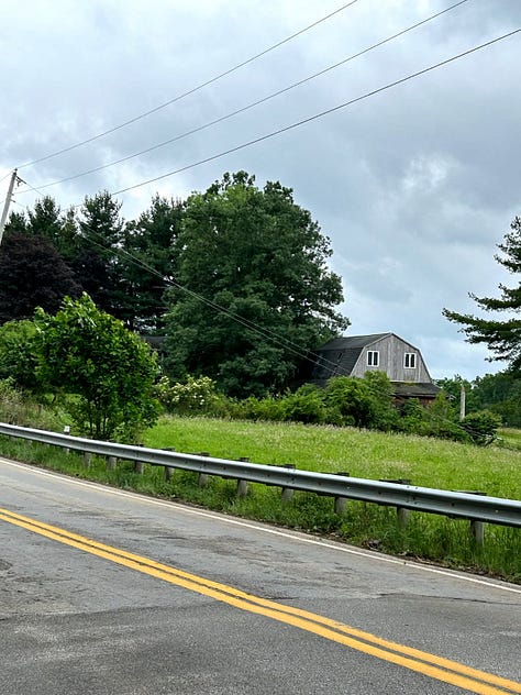
Increasing straight-line winds south of the main circulation caused a barn roof to fail and several large trees to be uprooted on Bates Road, with these winds continuing across Henrietta Township.
Earlier Thursday, the weather service confirmed two tornadoes in Ottawa County from the previous evening. No injuries were reported.

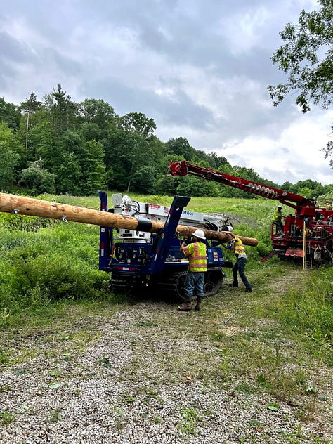
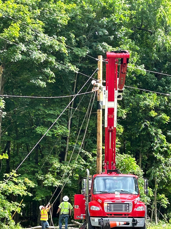
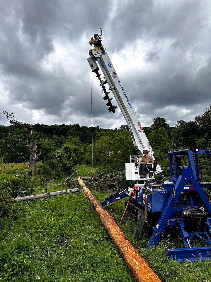
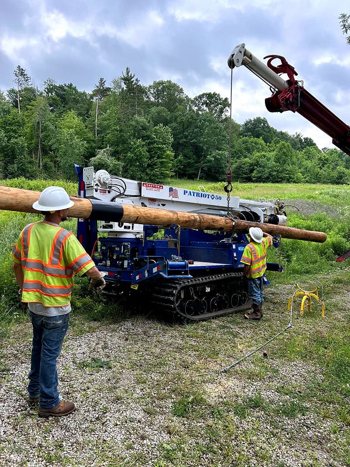
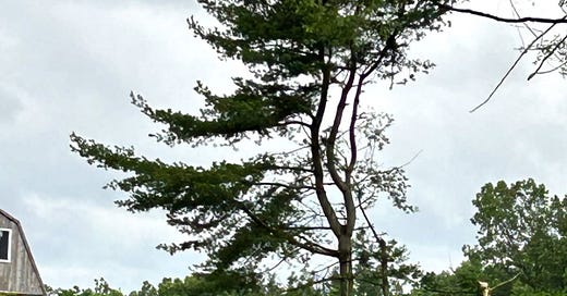
PHOTOS OF STORM DAMAGE IN REGION (Courtesy of Firelands Electric Cooperative). Crews worked through the night and on Thursday to restore service in its territory. See updates here.
